
The final boss of our blistering heat wave comes Saturday -- expect it to pack a real closing punch in the form of powerful storms.
The tri-state has been mired in a heat wave bringing dangerously high temperatures and suffocating levels of humidity. Although Friday may have dealt the worst of it, Saturday will be far from a walk in the park. \
Heat and humidity stick around for one final, agonizing day. Conditions will continue to pose health risks to those who spend a lot of time outside. Again, brace for highs in the mid 90s.
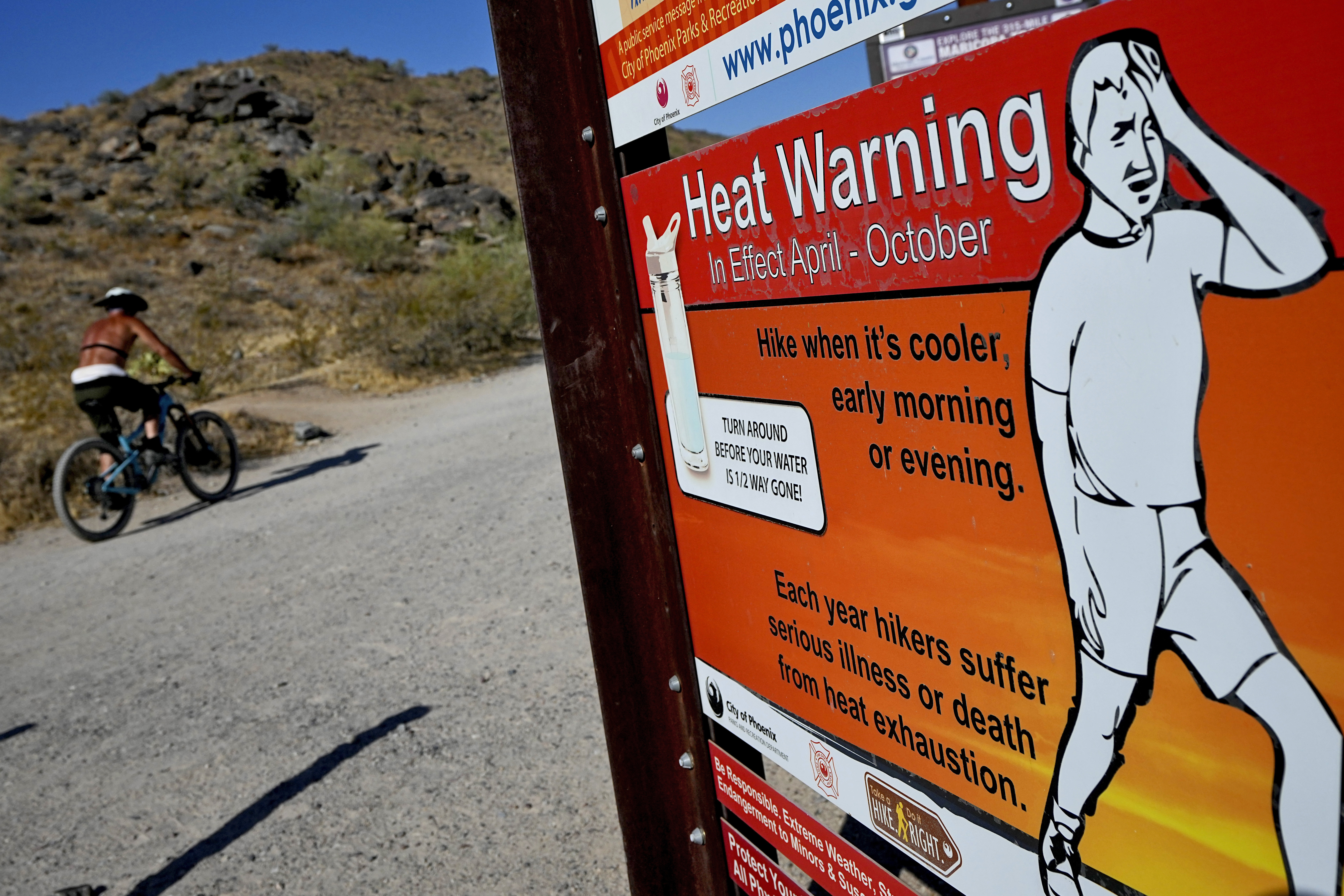
Heat index levels should push near 100 again for most of the tri-state. A heat advisory remains in place for just about the entire region. Anyone who has to be outside for extended periods of time or work in the heat should be acutely aware of how they're feeling, and be aware of the warning signs of heat exhaustion and heat stroke.
Get Tri-state area news and weather forecasts to your inbox. Sign up for NBC New York newsletters.

The chance for severe storms come by the afternoon and well into the night. Expect storms to swing through anytime between 3 and 9 p.m. A cold front gradually knocking down temperatures will lead into the day's storms.
The primary threat of Saturday's afternoon and evening storms, which could be severe, is damaging winds. Hail and even a few tornadoes are also possible.

With temperatures soaring, city and state officials have issued warnings regarding the projected heat wave in hopes of mitigating health risks and getting vulnerable people access to safer conditions.
Cooling centers, often air-conditioned public spaces like libraries, schools or community centers, will be opening across tri-state to provide free access to an escape from the heat.
“As we brace for a week of heightened heat, we are witnessing what is fast becoming our new normal — a direct repercussion of climate change," said NYC Emergency Management Commissioner Zach Iscol. "I call on all New Yorkers to exercise caution and take necessary steps to lessen their exposure to these conditions.”
The city advises people avoid extended outdoor activities during the hottest period of the day -- 11 a.m. to 4 p.m. -- and to not leave anyone unattended in a parked car, even if its for just a few minutes. When open, NYC cooling centers can be found here or by calling 3-1-1. The state's list of centers is located here.
Next door in the Garden State, cooling center in New Jersey can be found at 2-1-1 or here.
Connecticut Gov. Ned Lamont said the state would activate its extreme hot weather protocol during the hot spell, from Wednesday morning to Sunday morning. Cooling centers will be made available statewide -- a list of locations can be found by calling 2-1-1.

The good news: There will be some sweet heat relief come Sunday, when highs will actually dip below normal. It will be a picture perfect day with a dry breeze and highs only around 80.
That will kick off a comparatively cooler spell, with temperatures staying in the low 80s for much of next week. Compared to the sweltering heat of Thursday and Friday, Monday may feel almost fall-like with much more comfortable humidity, cooler highs and lows that dip into the low 60s. (OK, saying it could be "fall-like" may be a bit dramatic, but it will absolutely feel refreshing).
There will be a few lovely, low humidity days before the mugginess creeps back in later in the week, along with some storms.
See below Storm Team 4's exclusive 10-day forecast:

