
What to Know
- Temperatures fall into the high 30s on Friday and stay there through the weekend; expect a downright frigid start to Friday
- A powerful winter system moves in late Saturday into Sunday, bringing rain or snow or a combination of both to a swath of the tri-state area; the five boroughs could see a dusting to 3 inches. A winter weather watch has been issued for this weekend for areas north and west of New York City where heavier snowfall is expected
- We're tracking another big storm next week; but it will likely be too warm for snow leaving the potential for flooding rainfall to the New York area by Tuesday or Wednesday
A powerful storm is heading our way this weekend with lighter accumulations expected for the immediate NYC area but areas north and west of the city could see much higher amounts.
Currently, the best chance for snow remains north and west of New York City. The immediate metro area most likely will see a mix of rain and snow with possible light accumulations in NYC, north New Jersey, and central and northern Connecticut. Expected snow totals for the five boroughs are in the 1-to-3-inch range.
The Jersey Shore and South Shore of Long Island could see a lot of rain, while northwest New Jersey, Connecticut and the Hudson Valley should get plowable snow.
Get Tri-state area news and weather forecasts to your inbox. Sign up for NBC New York newsletters.
The timeframe for the storm at this point is Saturday night into Sunday. Snow showers linger behind the low into Sunday midday, but we should be dry in time for the Giants/Eagles game (hey, it's still a divisional game).

A winter watch watch has been issued for areas north and west of New York City for Saturday evening through Sunday in areas where the snowfall is expected to be more significant.

Preliminary look at a snow forecast for this weekend
Weather Stories
So how much snow COULD we get?
Storm Team 4 is releasing a preliminary snow map, but it's important to note since we are still a couple of days out from this storm, the snow forecast numbers could change.

At this point, the general thinking is accumulations of up to 3" are most likely for the immediate metro area, though some spots on Long Island and the Jersey Shore will see more rain than anything.
We're forecasting a tighter gradient on the southern edge of the storm and broader areas of 8-12" north of NYC, including Sullivan, Ulster, Orange, and Pike counties.
The hills of northern Connecticut could also see some higher totals.
Winds near the coast are expected to be strong, with gusts of 30 to 40 miles per hour.

How long since it has snowed in Central Park?
Snow would be quite a change of pace for the tri-state. Central Park has not recorded an inch of snowfall in a single-calendar day since Feb. 13, 2022 -- nearly two years ago. At this point, it still looks like any heavy snow will be well north and west of the city this weekend, but there's still time for the forecast to change, depending on the track.

With this weekend's storm it remains a real question if we will break this record drought in Central Park.

New York State Department of Transportation crews will be staffed 24/7 for the storm and cleanup, said Gov. Kathy Hochul.
“We anticipate heavy, wet snowfall across various regions, potentially causing power outages and hazardous travel. I urge New Yorkers to be vigilant. Prepare your households, monitor local forecasts, and plan for the next couple of days as the forecast comes into clearer view," Hochul said in part in a statement.
The governor's office offered the following numbers for residents to call if they do lose power:
- Central Hudson: 800-527-2714
- Con Edison: 800-752-6633
- National Grid: 800-867-5222
- NYSEG: 800-572-1131
- O&R: 877-434-4100
- PSEG-LI: 800-490-0075
- RG&E: 800-743-1701
“As the tri-state area anticipates a winter weather system this weekend that could bring substantial impact, New York City’s agencies are prepared and are actively coordinating with the National Weather Service and our utility partners to ensure a comprehensive response to mitigate and address any potential effects from this weather,” said NYC Emergency Management Commissioner Zach Iscol in a statement.
Where can I go to see snow this weekend?
If you want that heavy snow, or are looking at a ski getaway weekend, you could have some good skiing further inland.
Here's a look at the regional ski forecast.

Flooding potential exists in areas seeing rain
Rain could be problematic, too. Winds and waves will keep shore areas at risk for more erosion and perhaps minor coastal flooding. Up to 2 inches of rain are possible south and east of the city by the time the system moves out, escalating the flooding concerns. Check the latest weather alerts for your neighborhood here.

What about the forecast for the rest of this week?
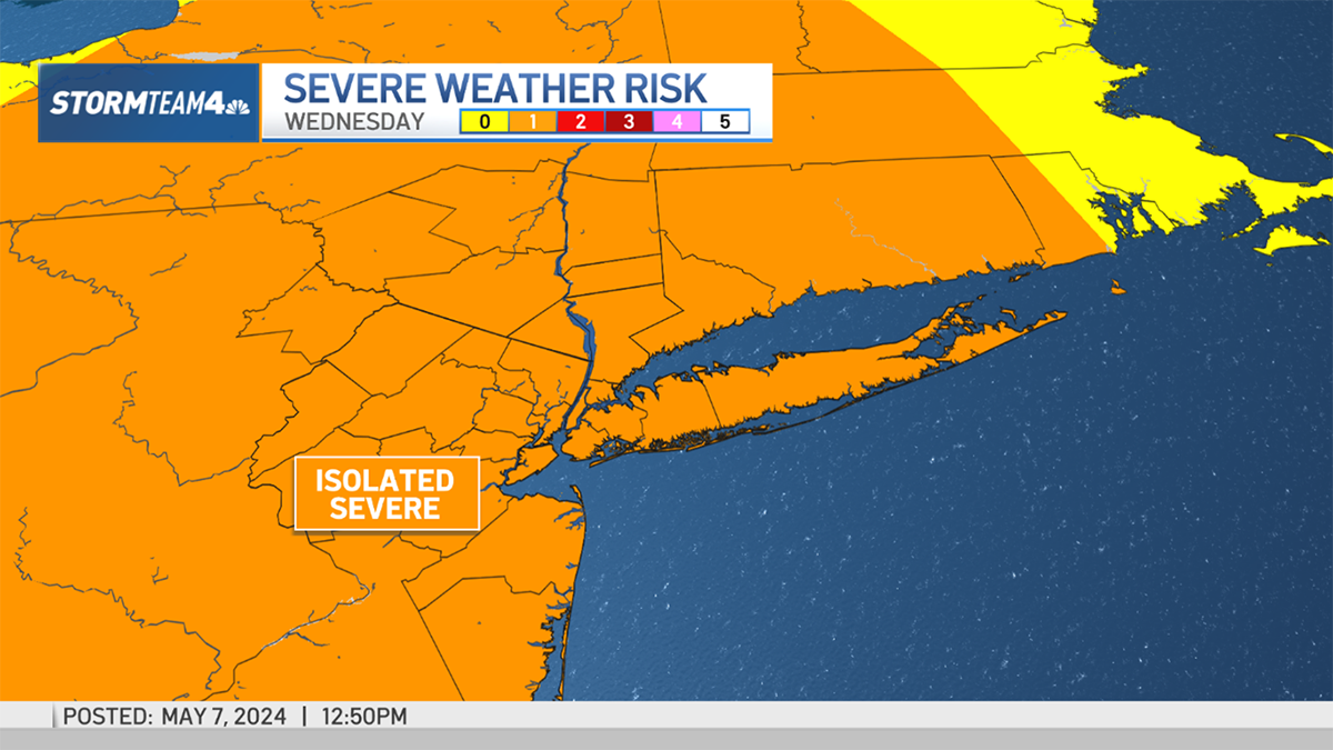
While we await more agreement on the models for this weekend, it will remain clear but cool for the rest of the week. Thursday turns slightly colder after an above-average Wednesday, and Friday looks to start downright frigid.
We're tracking another big storm on the heels of the one anticipated this weekend. That looks to hit Tuesday into Wednesday, and with temperatures expected to be relatively warm, that may mean flooding rainfall, especially with temps too warm for any snow.

