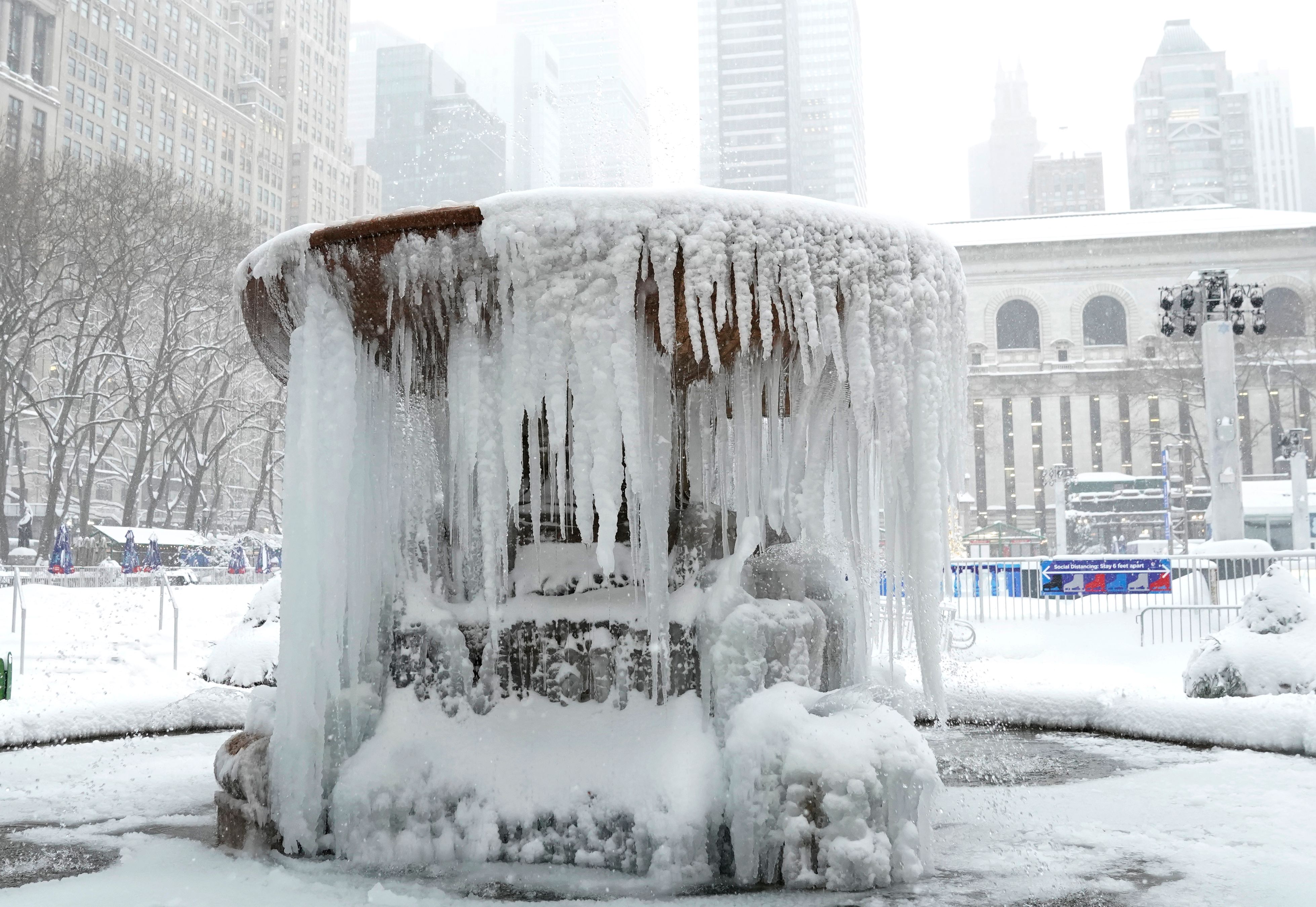
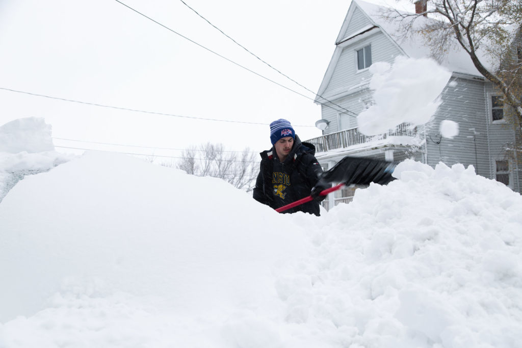
It's raining, it's snowing — winter is coming. Depending on where you live, you'll likely see one or both coming down on Sunday.
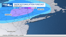
Some spots near New York City are looking at possibly seeing their first accumulating snow of the season, with up to 3 inches of the white stuff possible Sunday afternoon and evening. Those areas are well north and west of the five boroughs, though, which should, along with Long Island, see mainly rain and little to no snow accumulation.
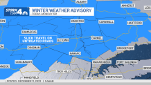
In the Hudson Valley, Catskills, northwestern New Jersey and western Connecticut can expect mainly snow – to the tune of up to 3 inches between Sunday afternoon and early Monday.
Sunday starts off dry, with rain or a wintry mix overspreading the tri-state area during the afternoon and into the evening hours. Snow and a wintry mix might linger for some overnight, potentially triggering a slippery morning commute Monday for drivers in the Hudson Valley. Get real-time transit updates here.
Get Tri-state area news and weather forecasts to your inbox. Sign up for NBC New York newsletters.
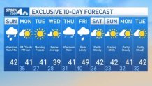
The wintry mix moves out early Monday, yielding to some drizzle. Chilly but dry weather will take over through mid-week, with a morning freeze possible on Tuesday morning.
More rain and showers could be in the mix for late next week as well, particularly for late Thursday into Friday. Check out your updated 10-day outlook below.
