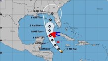
Ian strengthened into a hurricane early Monday, triggering hurricane warnings for Grand Cayman and a number of Cuban provinces as it swirls toward Florida, where the National Hurricane Center's forecast cone projects it could hit later in the week.
Ian had maximum sustained winds of 75 mph as it moved about 315 miles southeast of Cuba early Monday, the National Hurricane Center in Miami said.
On the current track, Ian is expected to pass near or west of the Cayman Islands Monday and near or over western Cuba Monday night and early Tuesday before it emerges over the southeastern Gulf of Mexico and passes west of the Florida Keys late Tuesday. The Panhandle and much of northern and central parts of the state were in the cone of concern for a hurricane which may turn northeast from the Gulf towards Florida between Wednesday and Thursday.
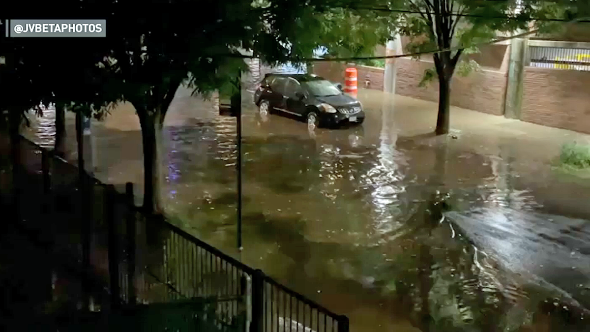
Limited flash flooding and urban flooding were possible with rainfall across the Florida Keys and the Florida peninsula through mid-week, NHC forecasters said.
Get Tri-state area news and weather forecasts to your inbox. Sign up for NBC New York newsletters.
Florida Gov. Ron DeSantis expanded the declaration of a state of emergency Saturday to include the entire state.
The development of this new storm comes just days after Hurricane Fiona devastated Puerto Rico and the Dominican Republic.
Communities in southern parts of Puerto Rico were inundated with torrential rain and wild winds, amounting to more than 2 feet of water in spots as the threat of deadly mudslides loomed. Lago Cerillos, not far from Ponce, where Fiona made landfall in Puerto Rico ahead of a second landfall in the Dominican Republic a day later, saw nearly 3 feet of rain.
President Joe Biden declared a state of emergency for Puerto Rico ahead of the storm, while the governor of Puerto Rico, as the worst of it hit, described "catastrophic" damages as the island plunged into darkness.