


Storm Team 4 is WeatheRate-certified as the tri-state's most accurate forecasting team, featuring Janice huff, Dave Price, Maria LaRosa and Raphael Miranda.
The Latest
-
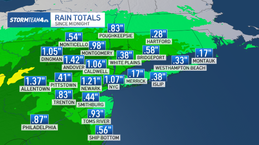
It was a wet, crummy Sunday. But the week ahead looks promising
The first half of the weekend started out strong.
-
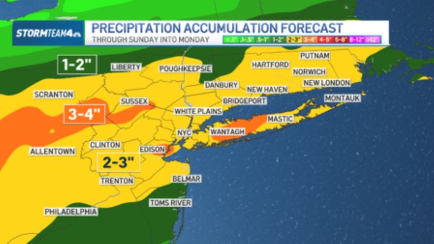
Remnants of Isaias to bring soaking rain to the eastern U.S. this weekend
The Weather Prediction Center has a portion of the East Coast under a slight risk for flash flooding Sunday.
-
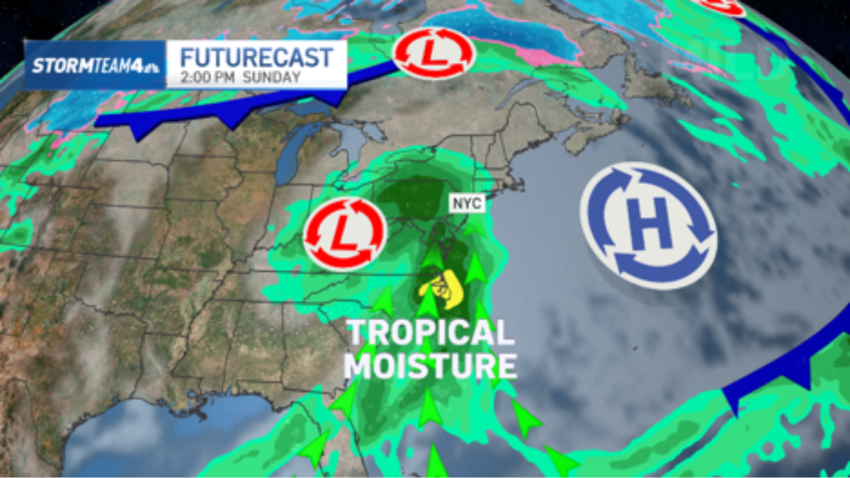
Isaias strengthens to a hurricane before landfall: See potential tri-state impacts
The Weather Prediction Center has a portion of the East Coast under a slight risk for flash flooding by late Sunday.
-
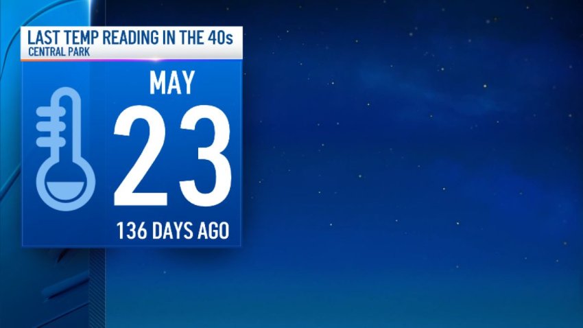
The coldest night of the season is expected in the NYC area since May
In other areas, temperatures will drop into the high 30s and low 40s, while the New York metropolitan area will stay closer to the mid and upper 40s.
-
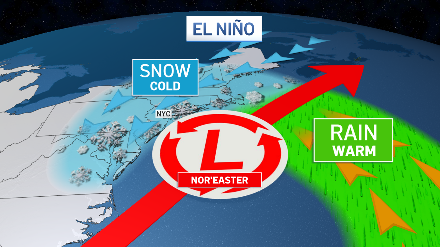
A ‘super' El Niño could bring more nor'easters to tri-state in winter — and more snow
This year, we’re heading into winter under “super” El Niño conditions, which could mean multiple, super-charged nor’easters for the East Coast, which could lash already-battered beaches.
-
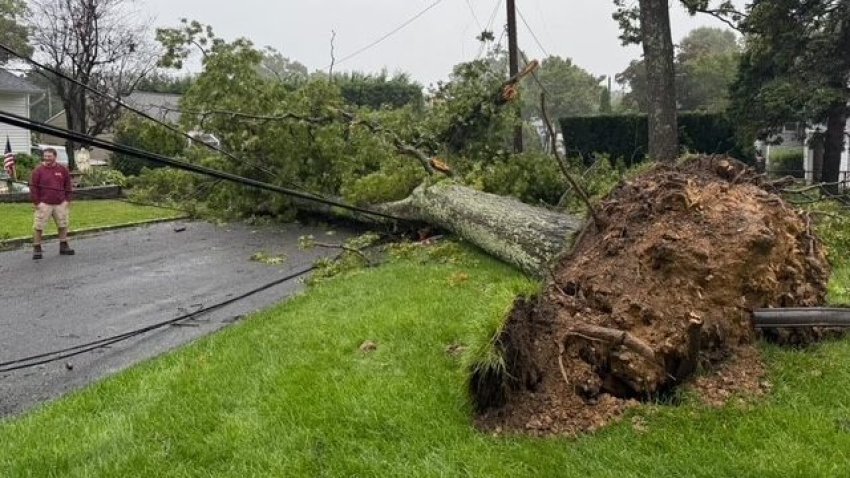
Powerful nor'easter slams tri-state, flooding coastal areas
NYCHA said one of its employees was killed by a fallen tree in Brooklyn, as the storm pelted the city with rain and strong winds.
-
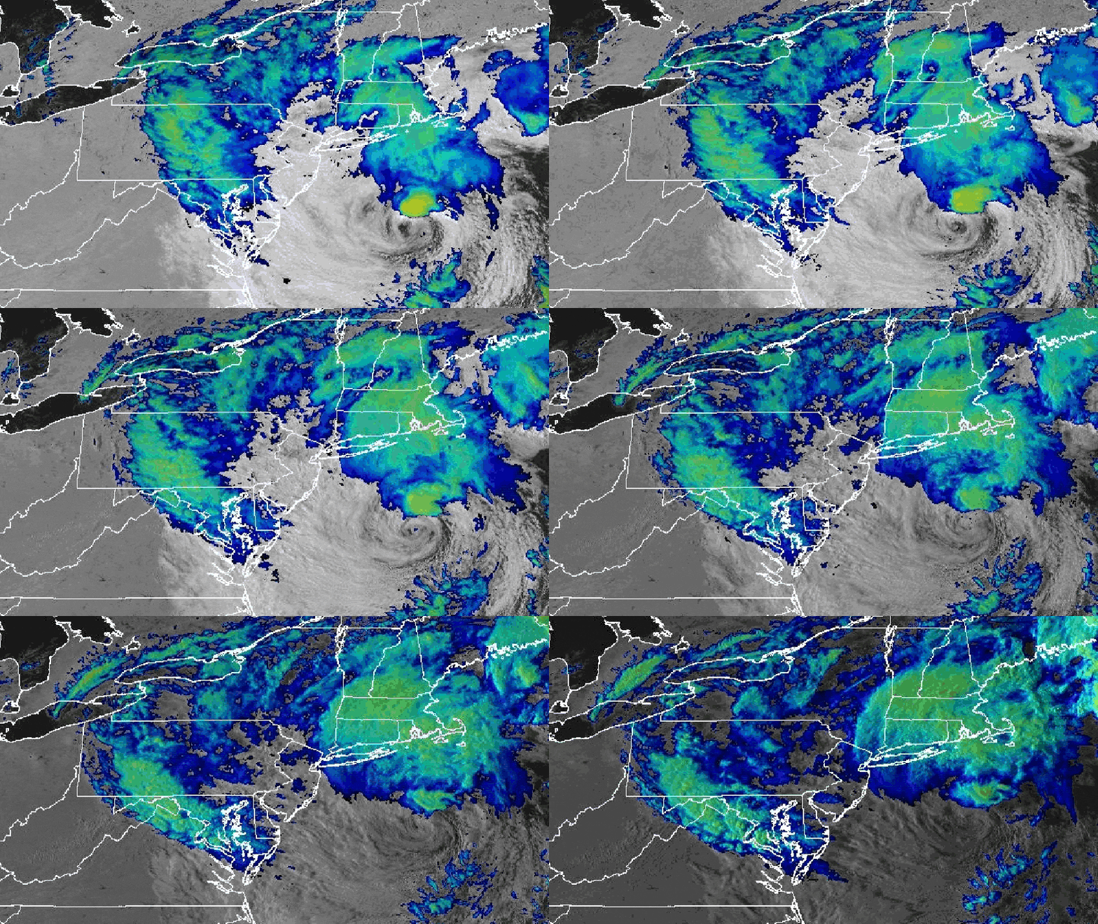
Nor'easter brings 60+ mph winds, coastal flooding for NYC, Long Island and New Jersey
High wind warnings and advisories are in effect across the tri-state, with some of the heaviest gusts coming along the coasts, which have seen winds of 65+ mph. Coastal flood warnings are in effect as well. New York and New Jersey declared states of emergency for areas impacted.
-
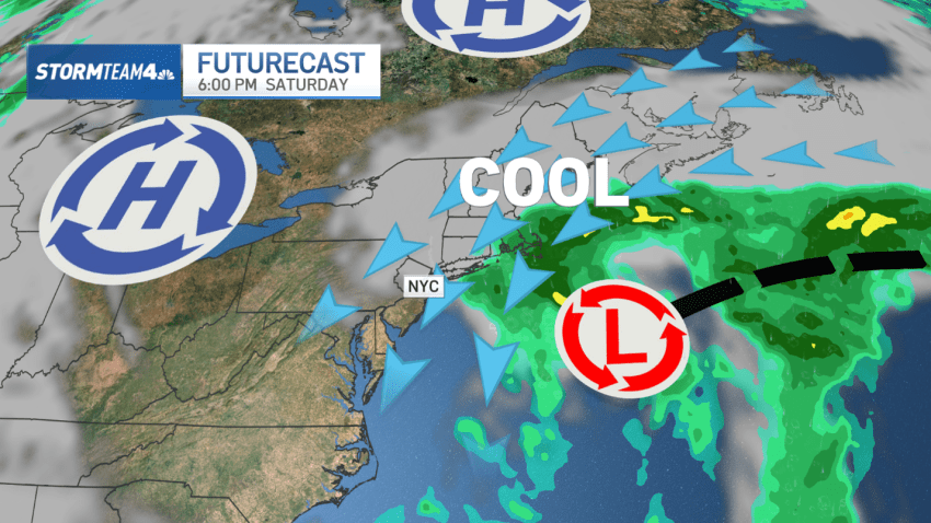
Powerful nor'easter to wreak havoc on coastal Long Island, New Jersey: What to know
Saturday will be the apex of the storm, with the combination of wind and rough surf.
-
Nor'easter threatens 50 mph winds, coastal flooding for parts of Long Island, NJ
The track of the low is becoming more certain as the European and American long-range forecast models begin to converge on a similar solution.
-
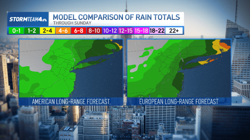
What we know (and don't) about this weekend's nor'easter so far
Much is uncertain. Any strong impacts, though, would likely be confined to the coasts of Long Island and New Jersey. The rest of us may see wind and rain.
