What to Know
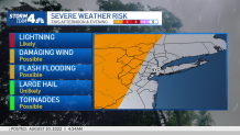
- Tuesday PM storms brought heavy downpours rains and powerful winds to parts of the tri-state area; any lingering weather should move out by Wednesday morning
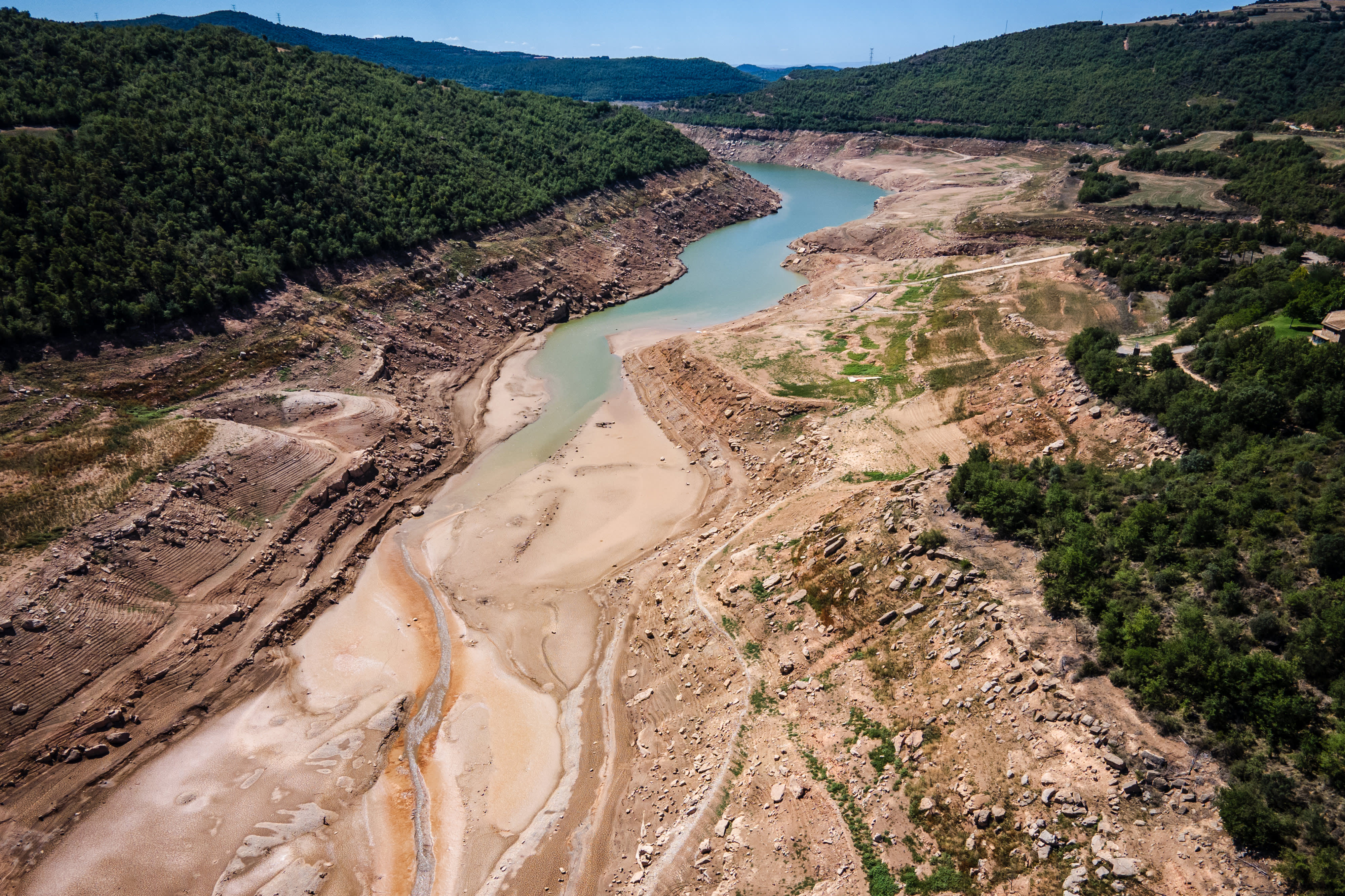
- While welcome, the rain won't be sufficient to bust the drought plaguing the tri-state area this month. The latest weekly update found parts of New York City to be experiencing the worst drought conditions in two decades
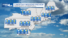
- Right now, the lead-up to the long Labor Day holiday weekend -- and the weekend itself -- looks sublime. Thursday kicks off a new month and a mostly sunny, comfortable stretch in the low-to-mid 80s that looks to take us into next week, with the exception of the chance for showers Sunday evening and into Monday
We'll lead with the good news. The weather looks sublime starting Thursday. But first...
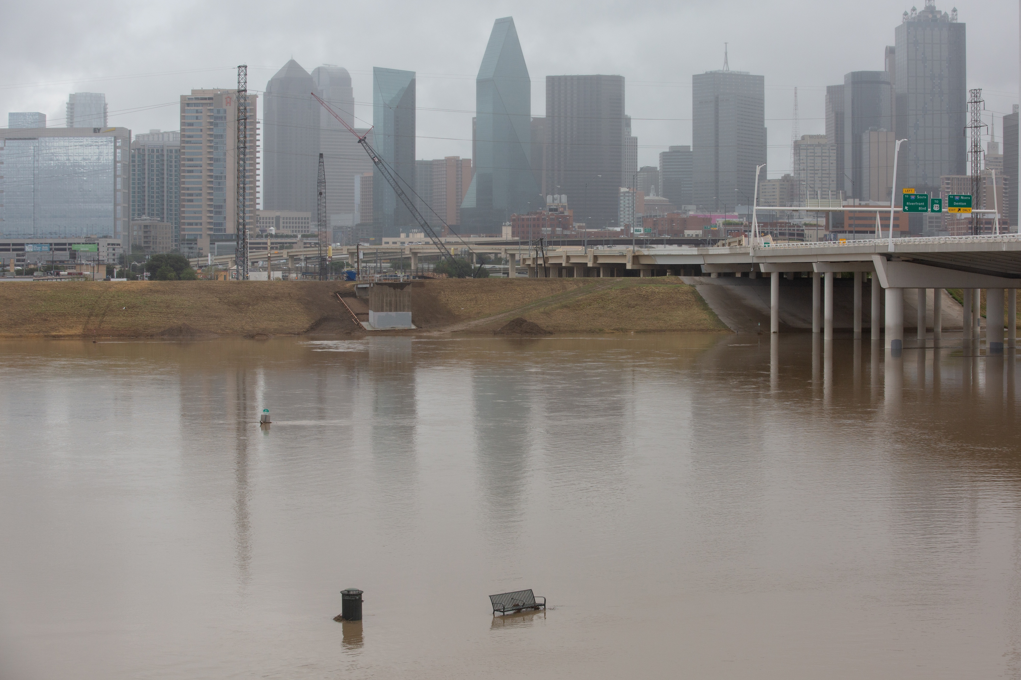
Storms thrashed parts of the tri-state Tuesday night, with torrential rains and strong winds creating potentially dangerous conditions on the roads in some areas, especially north of the city. The heavy downpours prompted a couple of flood advisories in the evening, and flooding will continue to be a risk north and west of the city.
Damaging wind gusts from straight-line winds will be possible throughout the night as well. However, the storm system weakened as it approached NYC as the night wore on, and by the time it reached the five boroughs, most of the area saw just some quick showers or sprinkles.
Get Tri-state area news and weather forecasts to your inbox. Sign up for NBC New York newsletters.
The storms did remain fairly strong north of the city, but everything is expected fizzle out during the overnight hours.
Stay with Storm Team 4 for the latest on the weather developments. And check the latest National Weather Service alerts for your neighborhood here anytime.
While welcome, the rain still won't be sufficient to bust the drought plaguing the tri-state area this month. The latest weekly update found parts of New York City to be experiencing the worst drought conditions in two decades. It put all of central and northeastern New Jersey in a moderate to severe drought, and the northwest part of the state into the "abnormally dry" category for the first time. Learn more here ahead of the next release on Thursday morning.
Any lingering weather is expected to move out by Wednesday morning. Humidity quickly drops over the course of the day, though it'll still be warm with highs in the high 80s and sunny skies.
As of now, the lead-up to the long Labor Day holiday weekend, and the weekend itself, look gorgeous. Thursday kicks off a new month and a mostly sunny, comfortable stretch in the low-to-mid 80s that looks to take us all the way into the beginning of next week, apart from a brief potential stormy blip on Sunday night. It won't be a washout, though.
While remaining pleasant overall, Labor Day Weekend will be a transition period for the weather. Humidity will increase on Saturday, and skies will become more cloudy by Sunday. Shower chances increase by that evening and will last into Monday.
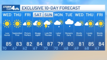
Expected temps should be close to or slightly above average the first week of September.
Track any approaching storms using our interactive radar below.