
The National Weather Service's Mount Holly office says it confirmed an EF1 tornado touched down in New Jersey's Camden County as a powerful line of thunderstorms tore across the tri-state area early Thursday.
The office tweeted that its storm damage survey team confirmed the tornado hit the Blackwood section of Camden County's Gloucester Township around 5 a.m. Its estimated peak winds were up to 90 mph at the time.
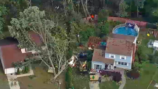
Heavy damage was evidence near Deer Park Circle and Erial Road. Trees were said to be coming down in the area about 15 minutes before the tornado hit.
Get Tri-state area news and weather forecasts to your inbox. Sign up for NBC New York newsletters.
Radar data did show a rotational signature and there was also a debris signature evident for a time, according to Storm Team 4. Chopper footage showed a gigantic tree on top of a house in the area under investigation as well as other damage.
The National Weather Service said that in addition to the 90 mph wind speeds, the tornado traveled for just over a quarter of a mile, and was about 60 yards in width. The damage started on Deer Park Circle, before the tornado moved northeast, uprooting a tree and snapping several tree limbs nearby.
The tornado began to dissipate as it approached some high-tension power lines, the NWS said. No significant damage was reported.
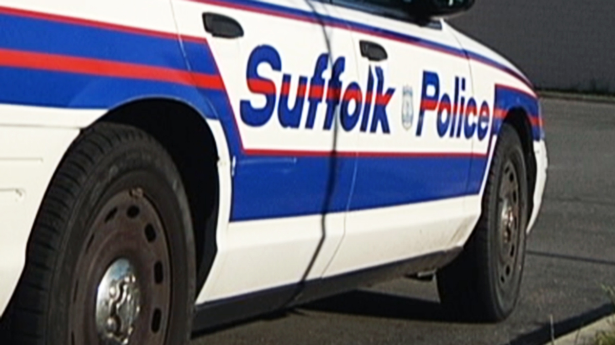
Downed trees on wires in Ocean and Monmouth counties within the next hour were blamed for roughly 100 power outages as the storms moved northeast toward New York City.
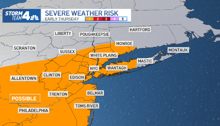
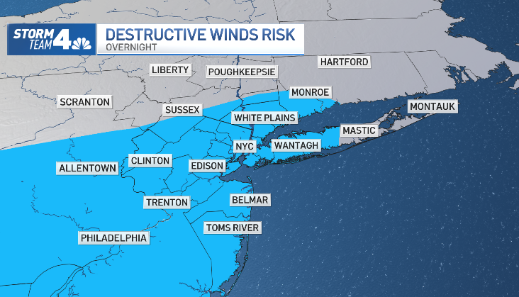
Intense, albeit isolated, wind gusts hit parts of the Garden State and other tri-state spots early, though torrential rain was a bigger issue in the New York City area.
Local

Wind gusts topping 40 mph and pea-sized hail had been possible in spots from Brooklyn and Queens to Suffolk County and parts of Connecticut, though early reports indicated no immediate severe weather damage. The heaviest rain fell overnight and moved out quickly, ebbing in the city by around 7 a.m. even as skies remained dark.
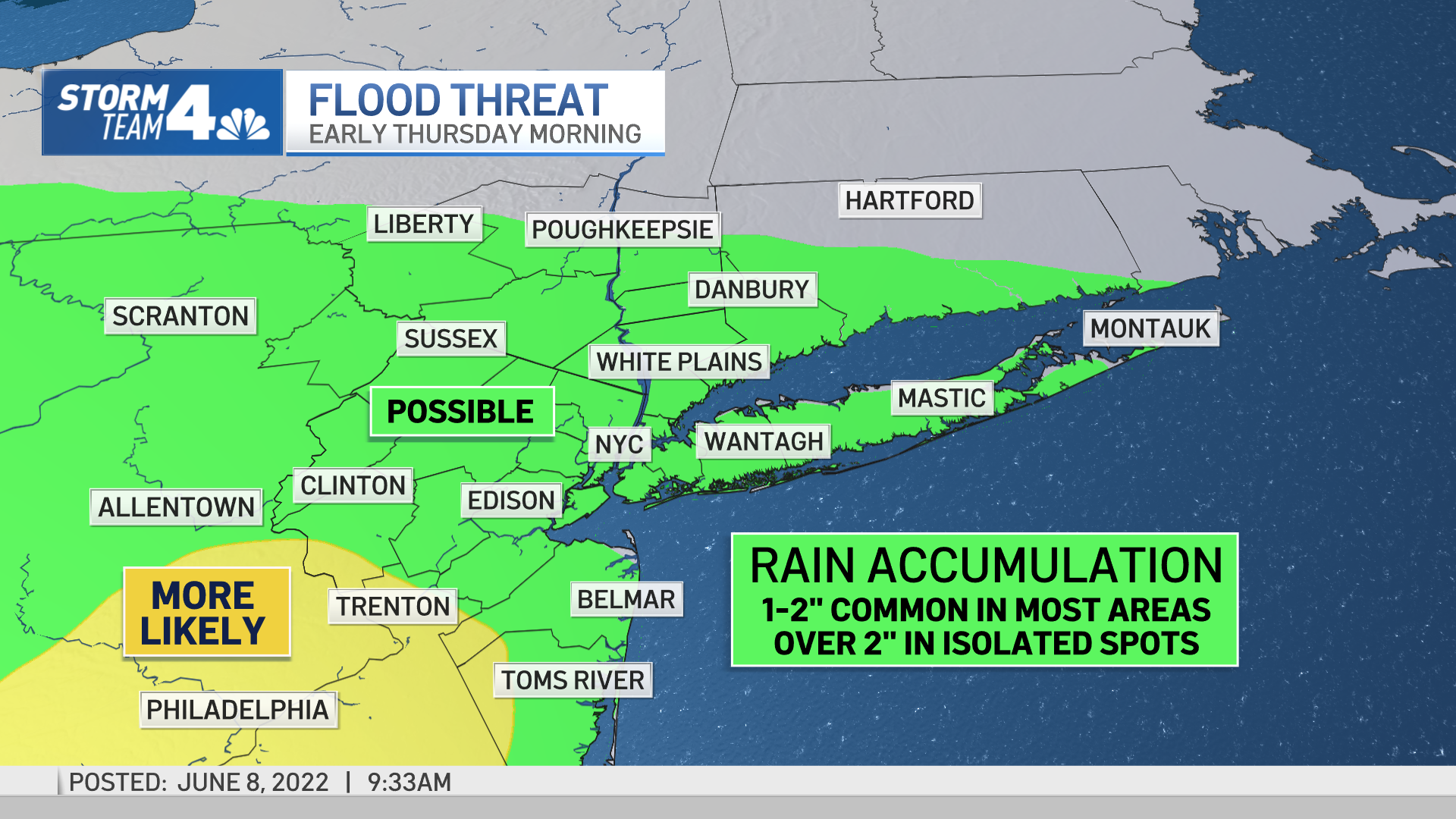
Ultimately, a widespread 1-2 inches of water accumulation was expected throughout the New York City area. Isolated locations — generally to the southwest of the city — were expected see as many as 3 inches.

Parts of central to southern New Jersey were expected to see the most rainfall, stretching from Hunterdon and Somerset counties down to the Philadelphia area, which is where the National Weather Service is focusing its latest attention.
Severe thunderstorm warnings for parts of the Garden State expired early, but flood advisories remain in effect for a number of counties in all three tri-states.
The weather turned quite pleasant once the rain moved out, with Thursday afternoon highs expected in the upper 70s to near 80 degrees. Friday features more of the same.
Rain returns to the area on Saturday, and is possible on Sunday as well, though neither day is expected to be a washout. Clouds will dominate though, along with cooler temperatures in the low-to-mid 70s.
Track upcoming weather using our interactive radar below.
