What to Know
- Some already soggy areas of the tri-state will get hit with another potential two inches of rain on Saturday
- Gusty winds will linger into the early morning hours Saturday, and could hit up to 50 mph overnight
- The good news for trick-or-treaters and parade revelers: conditions clear just in time for Halloween on Sunday
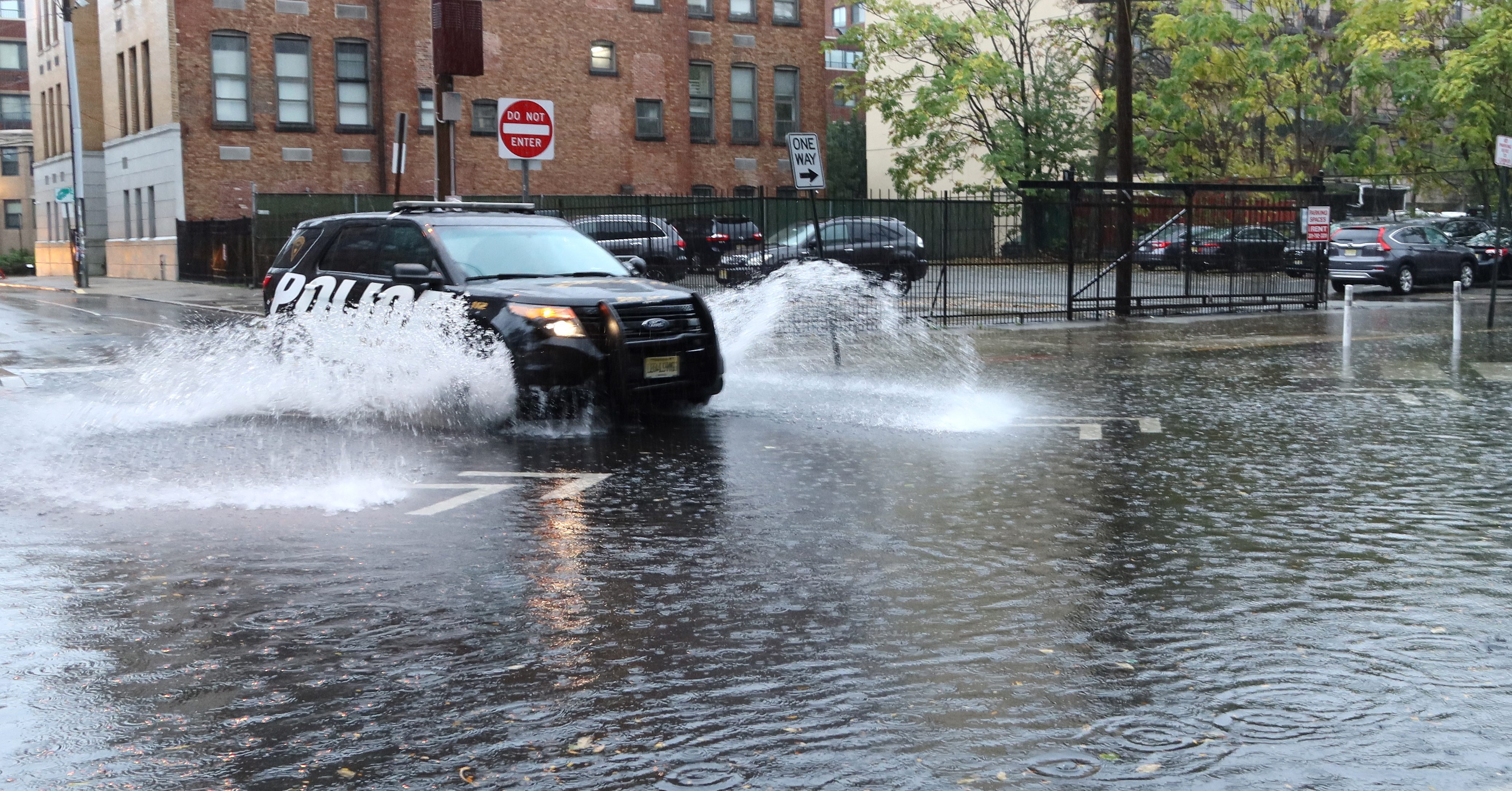
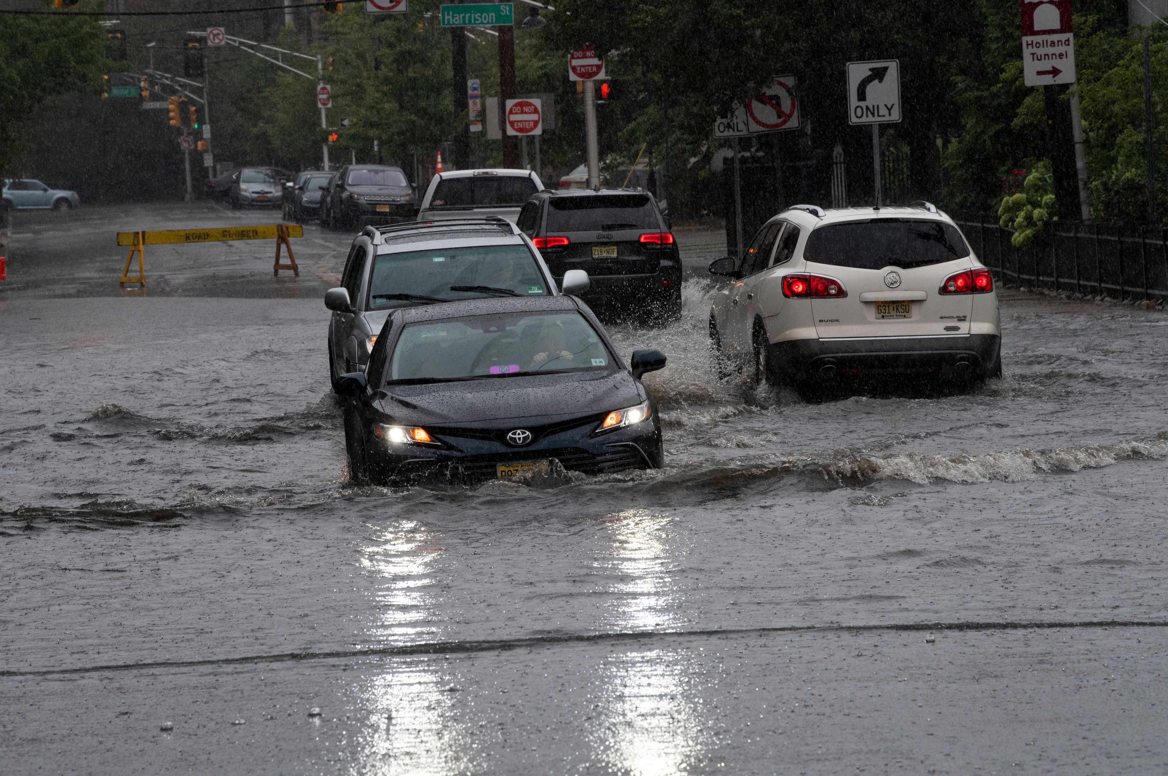
After a day of steady — and at times heavy — rain showers pelted the tri-state area on Friday, some already soggy areas will get hit with another potential two inches of rain.
The gusty winds, which were above 30 mph in NYC and hit 40 mph in Connecticut, will linger into the early morning hours on Saturday, and could hit up to 50 mph overnight. Once the morning comes, the winds are expected to diminish, but rains will pick up for eastern reaches of the region.
Get Tri-state area news and weather forecasts to your inbox. Sign up for NBC New York newsletters.
The fast-moving storms from Friday taper off overnight, but more consistent showers return to spots north and east of the city, especially Long Island and Connecticut, starting around noon. The showers will stick around for most of the afternoon, possibly getting heavier for some by the early evening before tapering off.
Check the latest severe weather alerts for your neighborhood here.
Total rainfall between 1-2 inches can be expected for some, while others (like in western New Jersey) may see partly sunny skies for much of the day. Temperatures will be in the low-to-mid 60s.
Saturday's rain won't be nearly as intense as the gusty nor'easter that dumped more than a month's worth of rain in spots within 24 hours earlier this week.
The good news for trick-or-treaters and parade revelers: conditions clear just in time for Halloween on Sunday, with just a few spot sprinkles leftover. Festivities will be dry and and slightly mild early on.
Then November begins Monday with sunshine and above-average temps in the 60s, but another cooldown sets in for most of next week.
Track any approaching storms using our interactive radar below.


