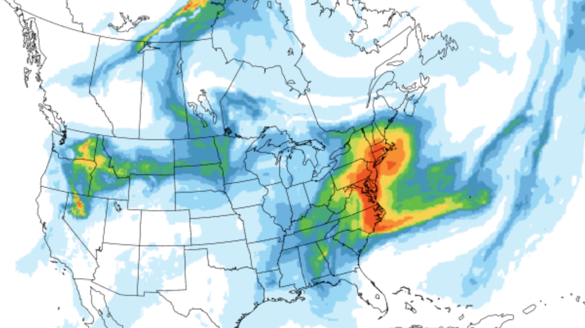
Thunderous booms rocked parts of New York City early Thursday as a line of storms moved through the area, and the rough weather is expected to continue intermittently through the day.
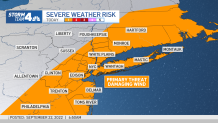
It wasn't a full day of storms, but did lead to on-and-off rain throughout the tri-state area into the afternoon hours. Isolated pockets brought lightning and thunder, as parts of Brooklyn saw early, so stay weather aware as the storms move out. Gusty winds appear to be the primary threat at this point. Check the latest severe weather alerts for your neighborhood here.
Get Tri-state area news and weather forecasts to your inbox. Sign up for NBC New York newsletters.
There was enough rain in Poughkeepsie (1.25 inches) to break the daily record of .87 inches from 1947.
Skies in the city were beginning to clear out by Thursday evening, bringing drier and much cooler conditions to start fall. The storms made their way to the west on Long Island, but looked to wrap up by nightfall.
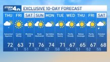
Temperatures north and west of the city will kick off Friday in the 30s and 40s, with brisk winds expected in the 20 to 30 mph range for most of the day.
It'll be sunny, though, rough, high surf is a concern Friday and into Saturday, which will also start off chilly. Temperatures rebound a bit Saturday afternoon, moving back into the low 70s and then soaring even higher on Sunday.
Another cooldown is expected by mid-week, and the risk of showers returns Monday. Here's a look at your 10-day forecast.