What to Know
- A storm system had been tracking to potentially bring measurable snow to NYC Wednesday but that forecast changed; the boroughs didn't even get a dusting
- Temperatures stay chilly, in the high 30s, on Thursday before climbing back near 50 degrees Friday and hitting 65 again on Saturday; then we're well above average temperature-wise through next week
- That expected mid-December warmth takes home with above-average temperatures all week. The average high for New York City this time of year is 47
New York City has yet to see its first measurable snowfall of the season — and while a potential big-time snow event appeared to be possible a few days ago, that no longer seems to be the case. The five boroughs didn't even get a dusting.
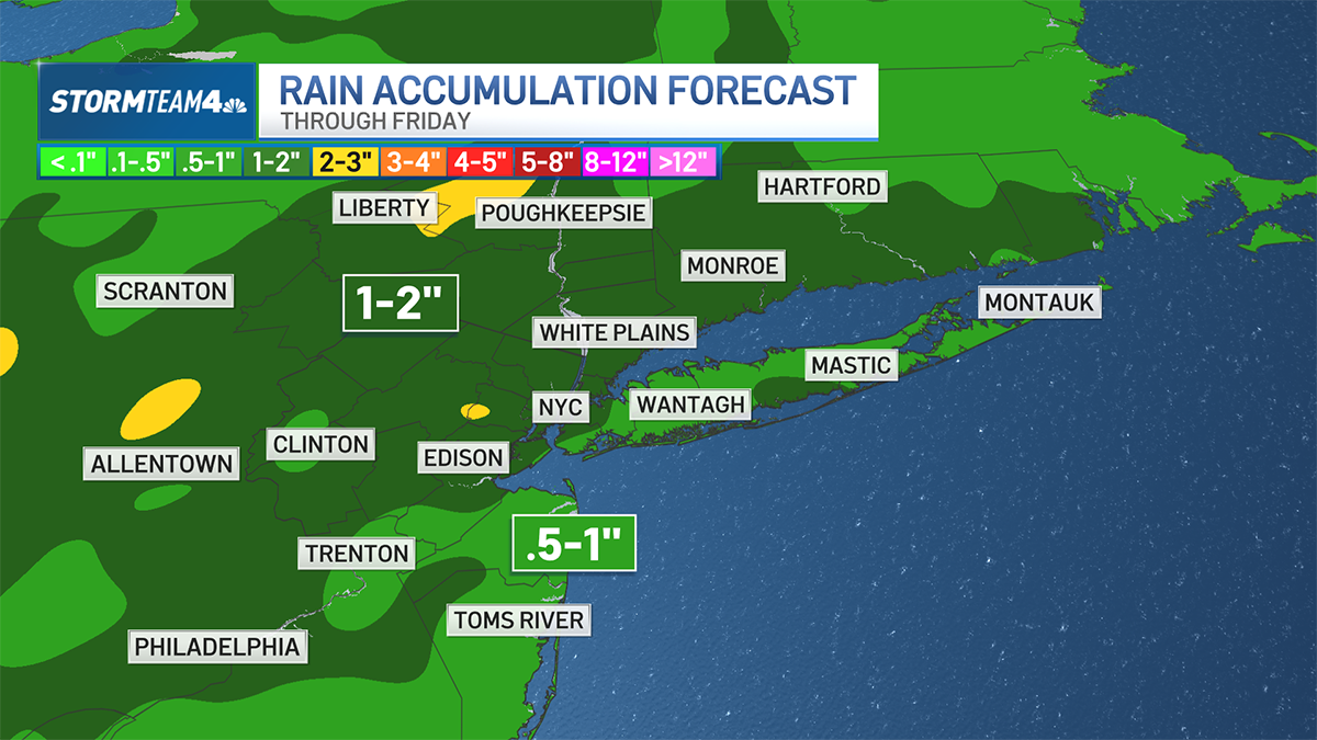
Light snow overspread -- or at least tried to overspread -- the far northern suburbs during the morning commute Wednesday but that's all gone by Thursday. Temperatures remain cool for the next 48 hours before potentially record-setting highs on Saturday.
No winter weather advisories are in effect for the tri-state area at this time.
Get Tri-state area news and weather forecasts to your inbox. Sign up for NBC New York newsletters.
Thursday will be dry with temperatures expected to stay well above freezing (around 40) for the day. Things start to get more mild Friday with temps in the high 40s. By Saturday, we're in the mid-60s as winds and rain showers return.
The rollercoaster continues as the mercury plunges back into the mid-40s on Sunday and leaps up to 50 Monday, then steadily higher over the course of the workweek, according to Storm Team 4.
That expected mid-December warmth takes home with above-average temperatures all week. The average high for New York City this time of year is 47.