
What to Know
- Wednesday was the wettest day of the week so far, and there will be some lingering downpours on Thursday, but it won't be as damp
- The ground is already saturated from rain earlier this week and because of it comes the concern for flash flooding in some spots
- The threat for severe weather returns on Friday before it drys out and gets brighter for the weekend, meteorologists said
After several days of scattered showers and pop-up storms, punishing rain beset the tri-state area Wednesday, and some showers will linger through Thursday.
With the ground already saturated from previous rain earlier this week, flash flooding remains a concern. Flash flood watches are in effect until 6 a.m. Thursday for much of New Jersey as well as Ulster County in New York. Sullivan County is under a flood warning.
Triggered by a cold front, the rain was heavy at times with a passing thunderstorm in some spots, Storm Team 4 says. Winds were gusty from time to time as well.
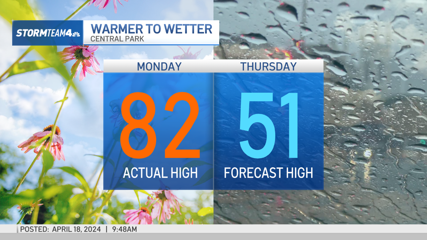
The heavy rain pushed to the north late Wednesday. Some sunshine on Thursday will be the fuel for more isolated downpours, but it won't be as damp. By Thursday evening, potential rainfall totals could be anywhere from a half-inch to 2 1/2 inches.
Severe weather could return again Friday afternoon as another strong cold front comes through that could fire up thunderstorms from West Virginia to Washington DC to New York City, meteorologists said.
Local

The skies should clear up Saturday and Sunday for a dry weekend, but there's a chance for some evening showers again on Monday.
